
by David Freedman
11/21/2025
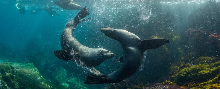
If you have ever stood on a shoreline and watched the tide pull itself across a beach, you know the ocean rarely stays still. Every shift in color, current, or depth is a quiet message. What is changing. What is moving. What needs our attention.
This week, our team explored emerging wildlife data tools that finally help us keep pace with that constant motion. Think of them as field guides for a living ocean.
It begins at the coastline, where platforms like SeaCras combine satellite observations, pollution alerts, and coastal ecosystem changes into one evolving online picture. Add digital twins and the ocean becomes a landscape we can model, test, and work with. A decade ago this would have felt like science fiction. Today it helps ports, aquaculture teams, insurers, and coastal agencies make decisions before the next tide rolls in.
Move inland and BioBase Maps shows what happens when we shrink the friction of data collection. No vessels. No long processing lines. Just simple sonar logs transformed into habitat maps in minutes. What once took long field campaigns now fits into a cloud workflow that conservation teams and water managers can use anywhere.
Step offshore and the horizon expands again. TCarta has refined satellite derived bathymetry so that water depth can be read from orbit. Reefs, shoals, and sandbars that once took months to chart now appear in near real time, giving scientists and coastal planners a clearer view of the environments wildlife depends on.
Travel deeper and Terradepth’s autonomous vehicles enter the story. These robots map the seafloor in high resolution and process the information at the edge, long before a human can reach the site. The result is faster knowledge about shipwrecks, habitat changes, and underwater features that shape wildlife behavior.
And far out at sea, Ocean Infinity’s lean-crewed and uncrewed vessels show what modern surveying can look like. These ships gather environmental data with a fraction of the fuel and risk, creating safer pathways for conservation, energy development, and offshore planning.
Across every example, the pattern is the same. Better data improves the way we protect wildlife. Better data strengthens the decisions people make around coasts, ports, reefs, and open water ecosystems. Better data helps us keep up with the pace of change.
Following the data is not a slogan. It is a way of listening to the ocean in real time. The technology may be new, but the idea is familiar to anyone who has ever looked at a tide chart and planned their next step. Pay attention. Read the conditions. Understand the system before you move.
The ocean leaves clues everywhere. Now we can finally read them.